Background Information
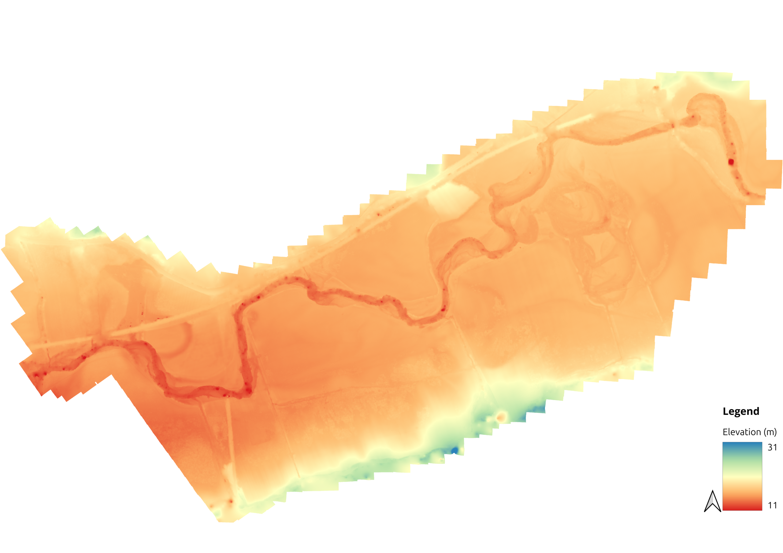
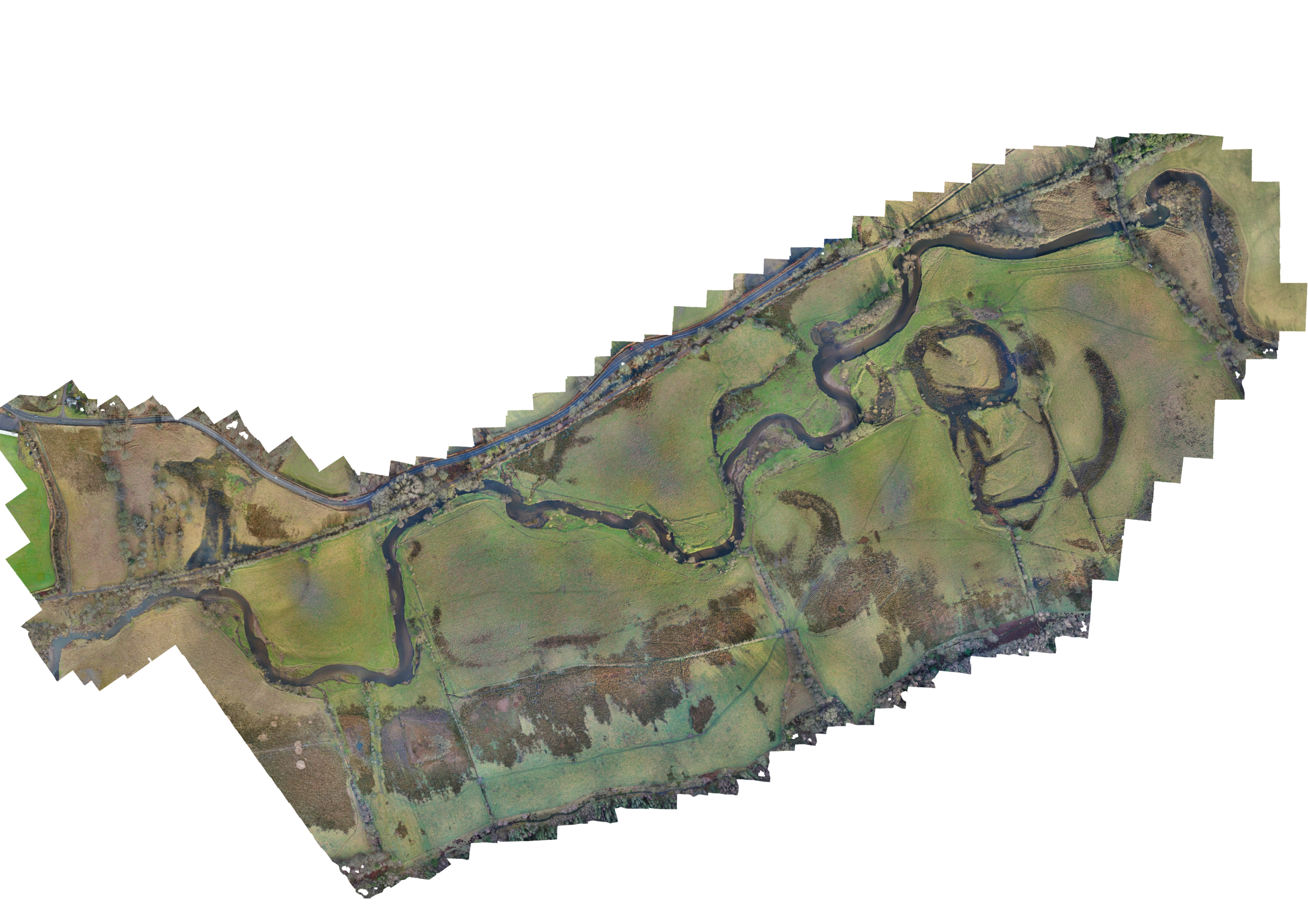
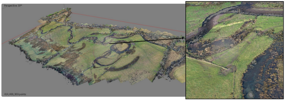
Photogrammetry is the process of creating 3D models from 2D photography. The following results were achieved by stitching together over 700 images that had been captured by a DJI Mavic 3 UAV and combining them with 50 ground control points captured with an Emlid RS+ GNSS base and receiver. Utilising the software application Agisoft Metashape and a workflow from the USGS, I was able to create the following orthomosaic, DSM and DTM.
The DTM as featured below was used in flood modelling to determine any differences in flood modelling with HEC-RAS using a photogrammetry derived DTM, and a LiDAR derived DTM, in my 4th year Honours project (March 2025).
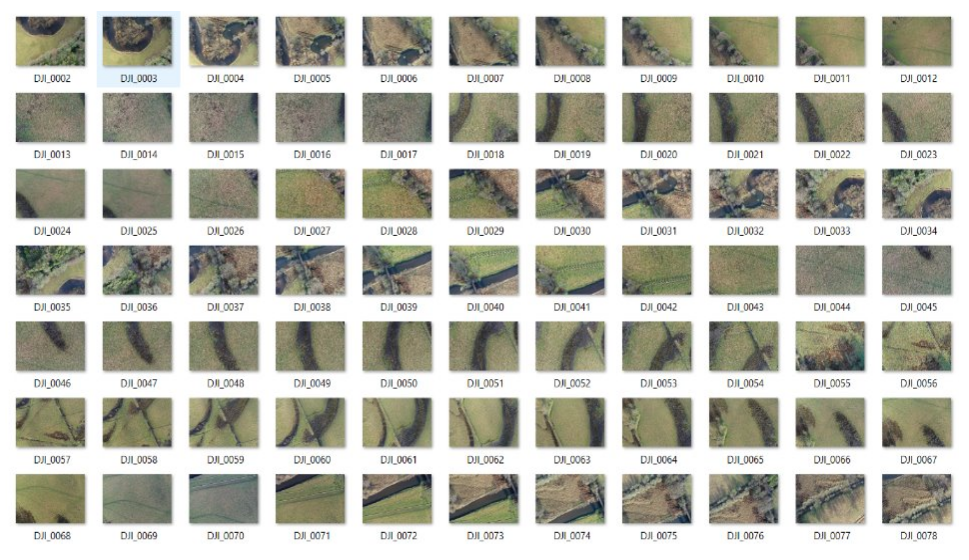
Original aerial photographs
Orthomosaic
DSM
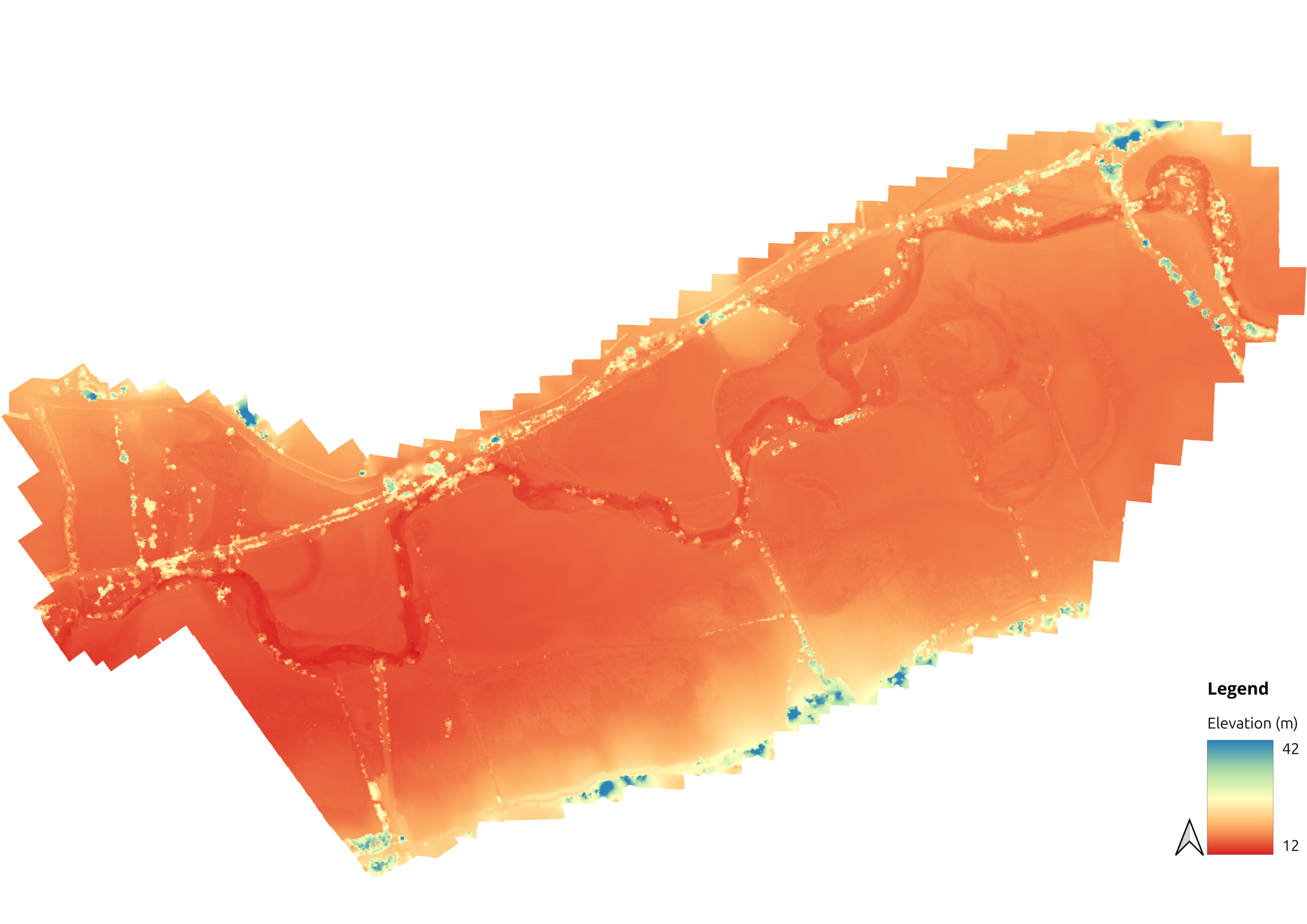
DTM